Communicating clear insights to our public partners has aligned the collective action aimed at reducing regional deficiencies.
.webp)
Communicating clear insights to our public partners has aligned the collective action aimed at reducing regional deficiencies.
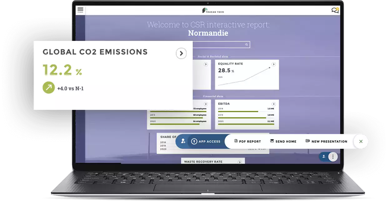
Turn your raw data into compelling data stories that are easily understandable by the general public, thanks to Toucan’s built-in Data Storytelling framework.
Showcase a modern authority to citizens, the media, and the stakeholders in your ecosystem.
Turn your raw data into compelling data stories that are easily understandable by the general public, thanks to Toucan’s built-in Data Storytelling framework.
Showcase a modern authority to citizens, the media, and the stakeholders in your ecosystem.
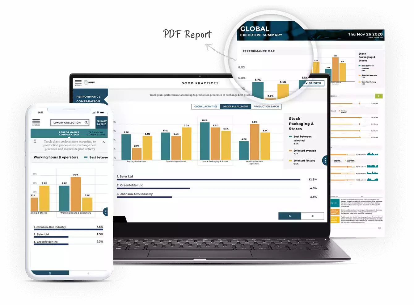
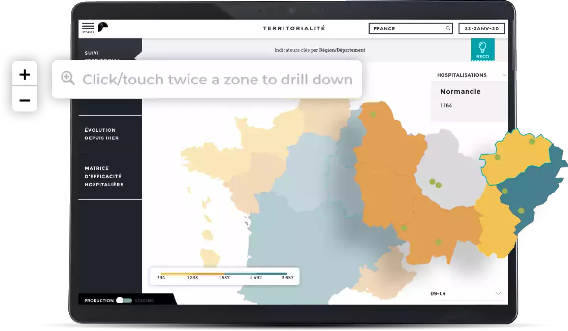
Showcase your custom interactive maps in an accessible app, in a just a few minutes.
Visualize the impact of your policies at different scales: state, regional, county, city, or neighbourhood.
Showcase your custom interactive maps in a highly accessible app, all in a just a few minutes.
Visualize the impact of your policies at different levels state, regional, county, city, or neighborhood.
Be instantly recognized by the general public thanks to strong design customization.
100% operational within any environment in as little as 2 weeks.
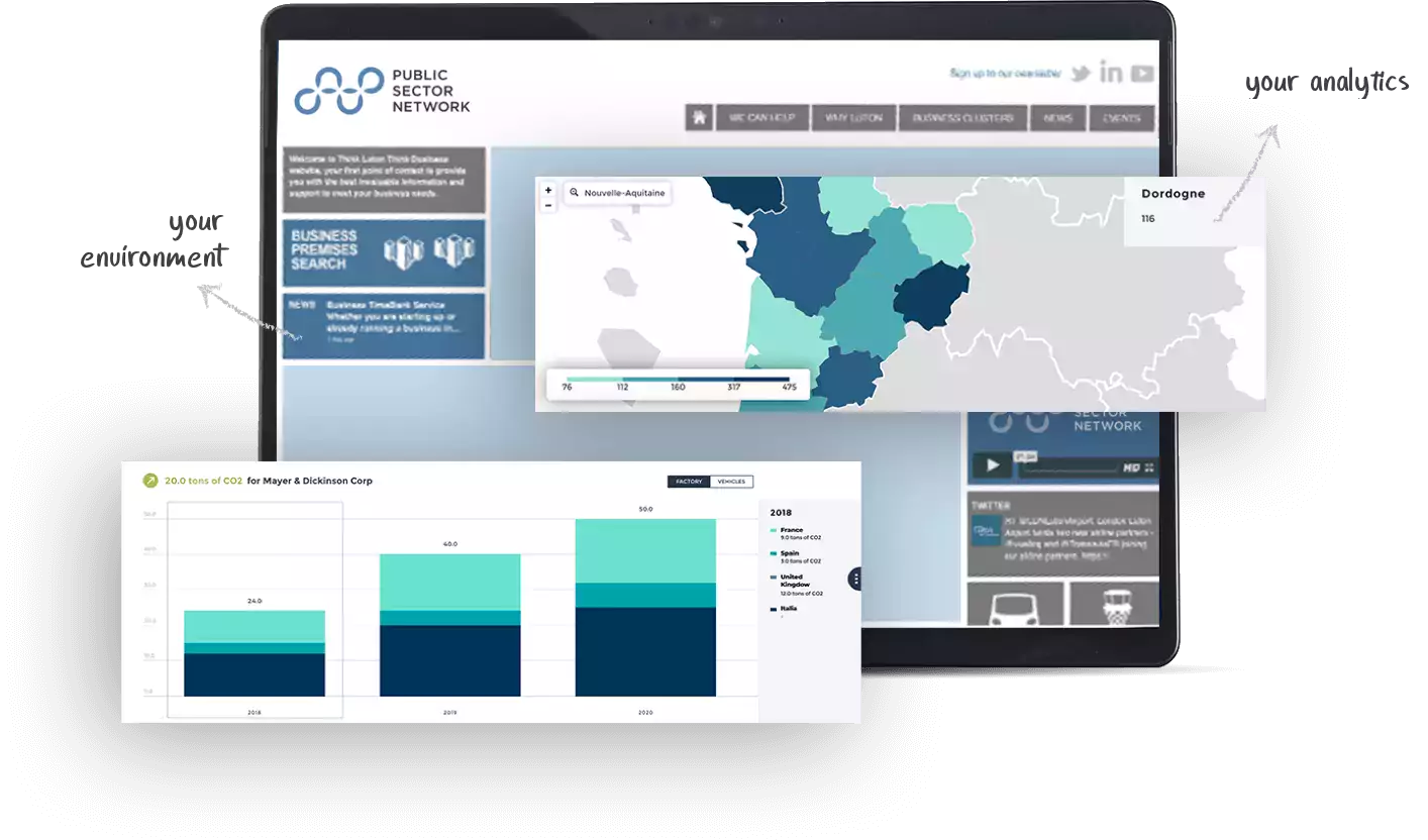
Be instantly recognized by the general public thanks to a strong design customization of your portal.
100% operational within your environment in just 2 weeks.
Public authorities, such as government, regions, departments, public agencies or cities have usually already implemented an open data policy.
A data portal for data storytelling is the next step in this process, allowing you to make sense of your data and control the story you're able to tell with it. Strengthening your transparency, it is also a strong communication tool that empowers you to promote your work and results.
Of course we do! We provide a data portal for any public authority that needs to communicate data more effectively.
This includes state and local governments, regions, departments, cities and public bodies such as departmental technical agencies or regional observatories.
Yes.
Our mapping tool gives you complete freedom; you can choose the base map you want (do you want to see cities, relief, or rivers?), display a customized map (your city, or even a supermarket), create custom zones and add the markers you want. This map will be interactive; you'll be able to explore each zone by clicking on it to see its details. Although this map is the best of its kind, it is also very easy to design. In just a few minutes, a non-specialist will be able to create a customized map of your territory.
Our data portal is designed to be easy to build and update. Non-technical users will be able to easily update the data, or to add a new chapter to the application.